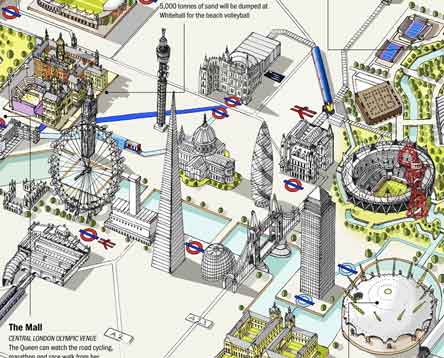
I’ve got two maps for you. The first is the slippy map above from London Town:
I like the…hand-drawn feel of the map. Venues are shown in indicative locations rather than being geographically correct, as the details of London between the venues are missed out. This makes it a very poor map for navigating around London between the venues, but a good graphic illustrating just how many venues in London there are, and how they relate geographically to the major London landmarks. – Mapping London
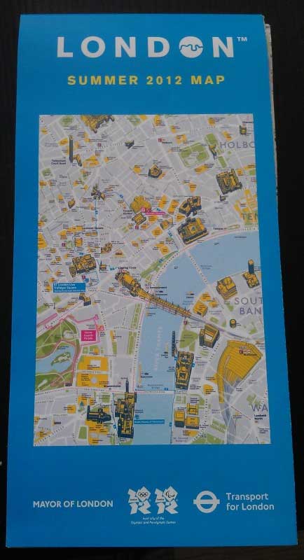
Second, is the one you would pick up in the London Tube if you were going to the games. Created for the Olympics, the “London Summer 2012” map looks like a pretty cool brochure/souvenir for the games:
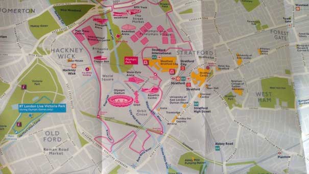
The maps feature key landmarks, the locations of Olympics related events (such as London Live) and shops, a selection of interesting museums and also more practical information such as public amenities, police stations and NHS walk in centres. The maps also include 6 discovery trails (round trips) to help explore different areas (such as the City; Spitalfields and Brick Lane; Regent’s Park; and the West End).
Two screenshots of it below – more at – Mapping London


